 Researchers have uncovered why the Green River doesn’t skirt the Uinta Mountains but instead carves its way through the heart of the rocky range before merging with the Colorado River.
Typically, rivers take the easy route. Most originate in high altitudes and then, under the force of gravity, flow downward toward the sea, navigating around any obstacles in their path. But the Green River—the largest tributary of the Colorado River—is anything but typical.
Stretching 730 miles through Wyoming, Utah, and Colorado, the Green River even has a section that flows uphill.
A new study from the University of Glasgow (UK) sought to unravel the mystery of this so-called ‘uphill’ route. The researchers say the answer may lie in the fact that over millions of years, the Earth’s crust behaves like soft wax, sometimes sinking and at other times rising.
What Did the Researchers Discover?
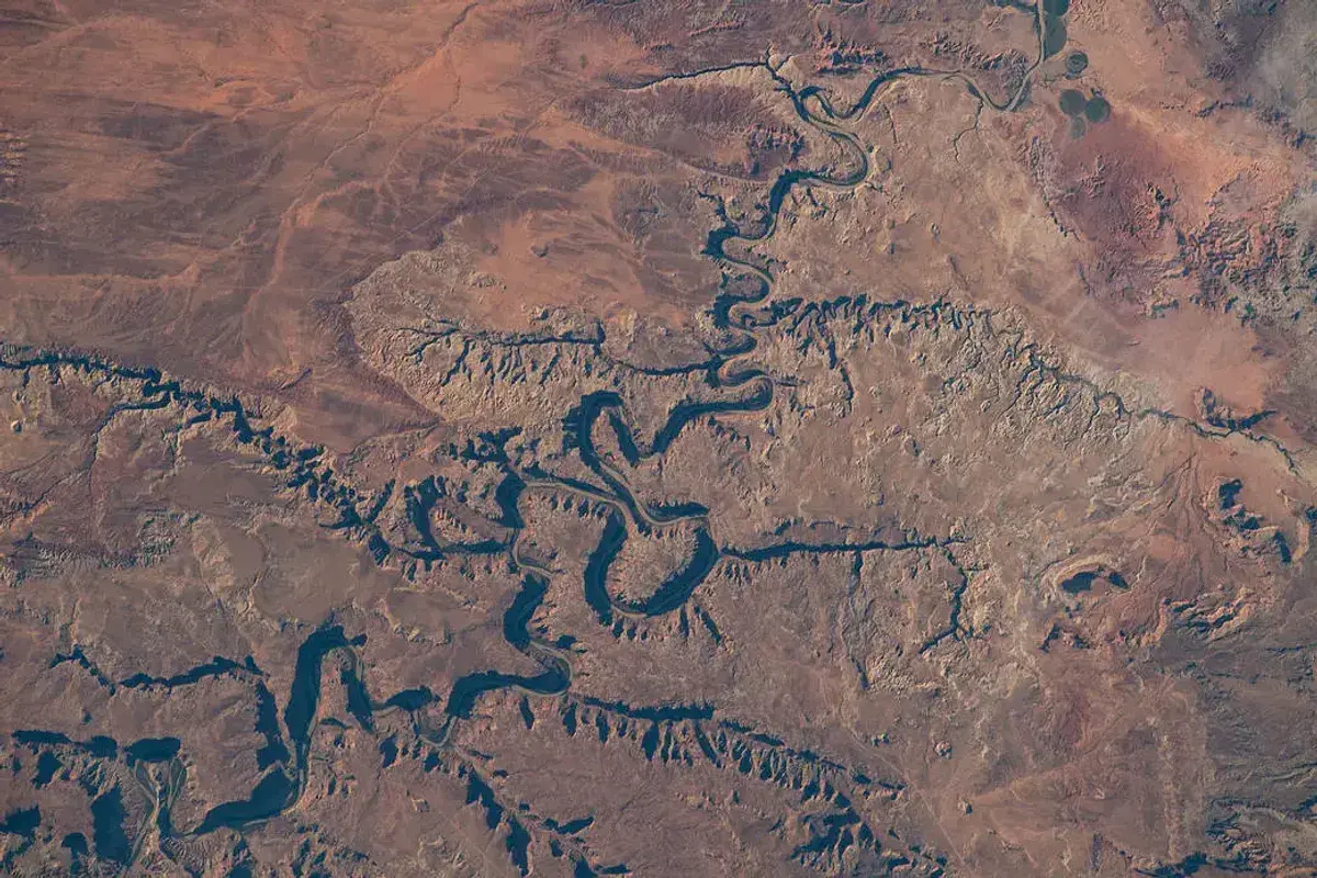
In its current form, the course of the Green River defies logic. Instead of flowing around the Uinta Mountains in northeastern Utah, the river creates a 2,300-foot canyon amid 4,000-foot peaks.
The Green River likely followed this path between 8 and 1.5 million years ago, long after the mountain range formed about 50 million years ago. So why did it carve out this massive canyon when the path of least resistance would have simply gone around it?
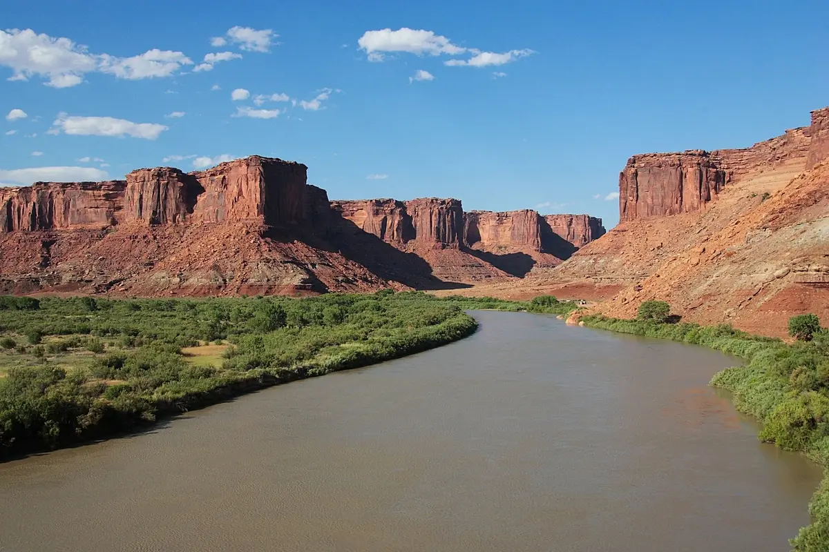
The Green River winds through Canyonlands National Park, Utah (photo NASA)
To answer this question, the researchers examined the possibility of “lithospheric droplet subsidence”—a phenomenon that causes mountains to sink and rise over millions of years. By combining seismic surveys with advanced modeling, they showed that the region underwent significant geological change during this time.
The team discovered a distinct pattern of uplift in the Earth’s crust around the mountains and found that the crust beneath the mountains is several kilometers thinner than expected. This thinner crust accounts for a 1,300-foot height difference, which ultimately explains the unusual behavior of the Green River.
In other words, the land beneath the Uinta Mountains temporarily sagged as the Earth’s crust pushed into the mantle, allowing the Green River to maintain its course through the mountain range. As the land slowly rose again, the river preserved its path, cutting through the mountains.
Those changes left a lasting mark on the continent. When the Green River joined the Colorado River, that confluence fundamentally altered the region’s geography and biology.
As Dr. Adam Smith, the lead author of the study from the School of Geographical and Earth Sciences at the University of Glasgow, explained to IFLScience: “The confluence of the Green and Colorado rivers millions of years ago changed the continental divide of North America. It created a line that separates rivers flowing into the Pacific Ocean from those flowing into the Atlantic Ocean, forming new environmental boundaries for wildlife that influenced their evolution. This is an incredibly important area of the continent.”
“For nearly 150 years, geologists have debated how exactly this river confluence occurred, which is particularly challenging in a tectonically inactive area where major geological events happen less frequently. We believe we have gathered enough evidence to show that lithospheric droplet subsidence, which is still a relatively new concept in geology, is responsible for the land sinking low enough for the rivers to connect and merge,” he said.
The study was published in a scientific journal.
Photo: wikipedia.org