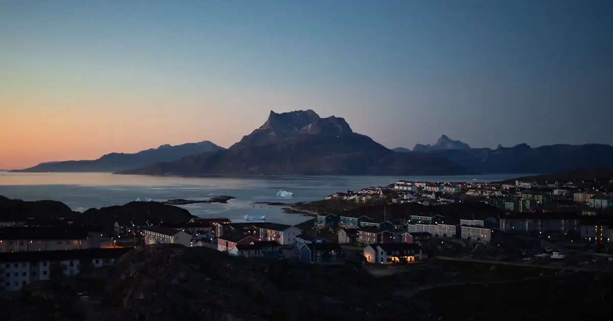
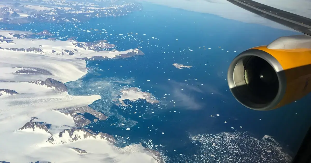
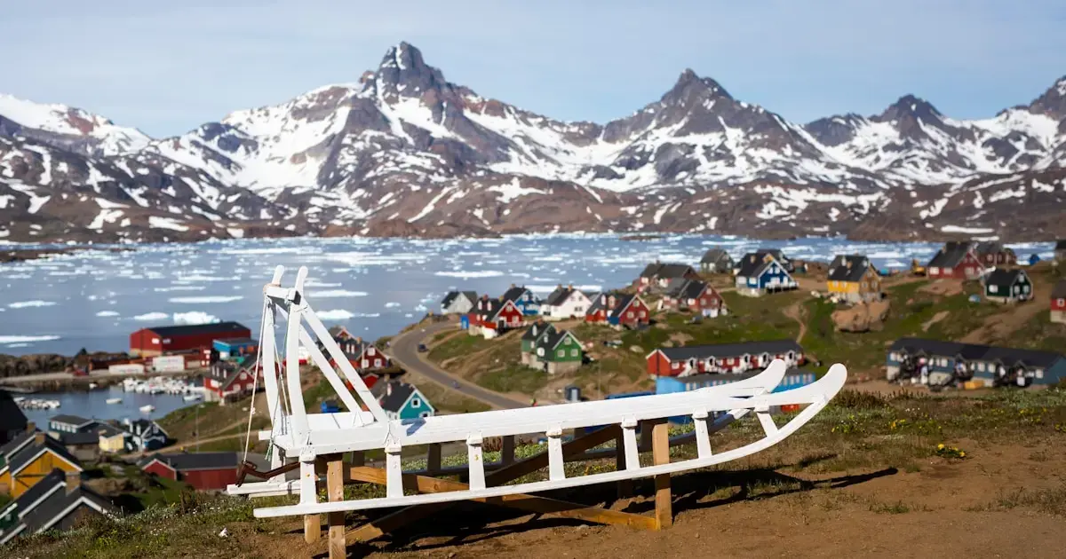
Greenland, the world’s largest island and an autonomous territory within the Kingdom of Denmark, is changing shape — compressing in some areas and expanding in others. Moreover, it is drifting northwest. In this context, as the Earth loses more ice, these strange metamorphoses could negatively affect future navigation in the region.
This is the conclusion of an international team of scientists led by the Technical University of Denmark (DTU). Over the past 20 years they analyzed GPS data from 58 points across Greenland, as reported by Science Alert. The researchers observed that as the land shifts northwest by approximately two centimeters per year, the island expands in some areas while contracting in others.
“Overall, this means that Greenland is becoming slightly smaller, but in the future, the situation may change as melting accelerates,” explained geophysicist Danjal Longfors Berg, the lead author of the study.
What else did the scientists discover?
Greenland’s crust is primarily influenced by three geological forces: tectonic plate motion, the reduction of pressure on the bedrock as modern glaciers melt, and glacial isostatic adjustment — the movement of the Earth’s crust in response to changing ice loads.
By combining data from GPS stations across Greenland, computer models, readings from several thousand other GPS stations in North America, and reconstructions of movement over the past 26,000 years, the team separated those three factors.
This research provided the most accurate measurements of Greenland’s movement to date, particularly regarding the island’s horizontal displacement. This work will help scientists improve future models of Greenland’s movement and better understand how the planet will respond to the impacts of ice loss.
“The ice that has melted over the past few decades has pushed Greenland outward and caused the land surface to rise, meaning that during this period, the territory of the island has actually increased,” said Berg.
“At the same time, we are observing how Greenland rises and falls due to prehistoric changes in ice masses associated with the last ice age and its conclusion,” the scientist added.
When such large ice masses form or disappear on Earth, the consequences can be unpredictable. Therefore, scientists continue to refine estimates of the potential impacts of ice loss around both poles.
“It’s important to understand land movements. They’re interesting to geologists, but they are also crucial for geodesy and navigation,” Berg noted.
The study’s results were published in the journal Geophysical Research: Solid Earth.
Photo: Unsplash