 An international team of researchers has published a new map of the land routes of the online. According to the scientists, these roads could circle the Earth seven times. The length of the ancient Roman road network has significantly increased, growing from 190,000 to 300,000 kilometers.
The map, which combines 14,769 segments of ancient Roman roads, is called Itiner-e and is now publicly accessible for anyone interested in exploring it.
The study’s leader, archaeologist Tom Brugmans from Aarhus University in Denmark, shared in an interview with Science Alert: “We compared excavation data and literary sources with satellite images to uncover traces of ancient roads, and we also used historical topographic maps that show the period before urbanization, when Roman roads might have been more visible.” As a result, the researchers compiled a dataset covering 40 countries.
Interestingly, the main transport hubs were located far from Rome. The map indicates that the primary hubs were the Po River valley and the Alpine corridor in northern .
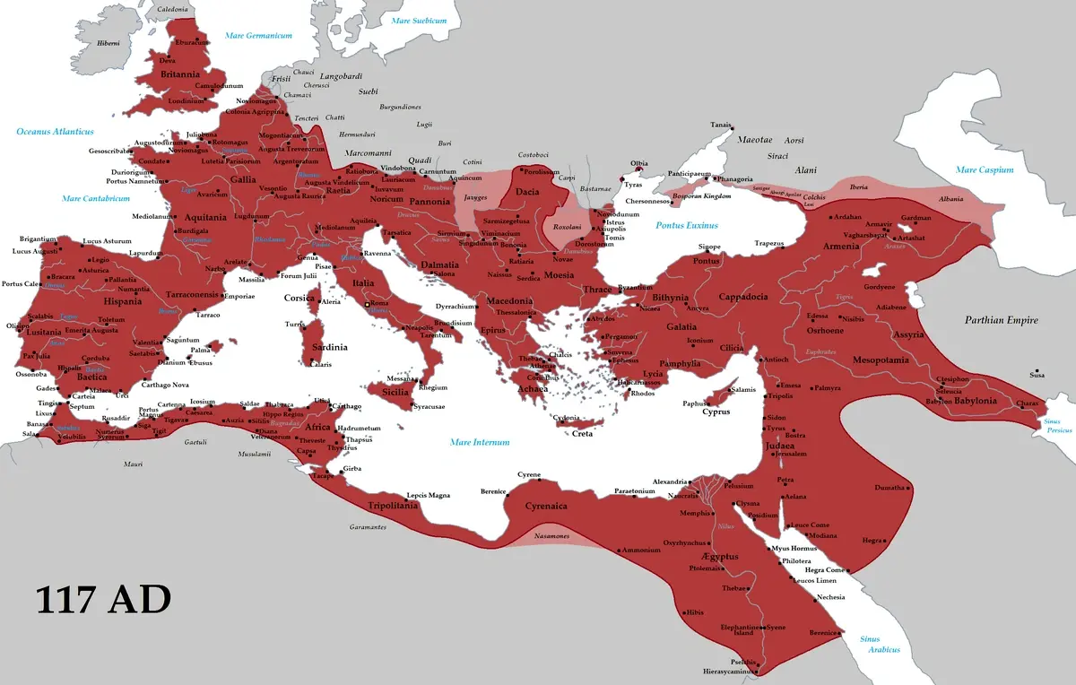
Map of the Roman Empire
What else is known about the researchers’ new work?
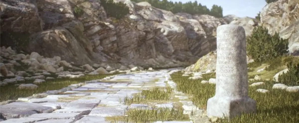
At its peak, the Roman Empire covered an area of 5 million square kilometers, governed from Rome. The ancient Roman road network is believed to have played a crucial role in the expansion of the empire’s territories. Even after thousands of years, researchers continue to discover these ancient paths, sometimes in the most unexpected places.
Roads can reveal a lot about the ancient Romans, such as how they traveled and traded, the scale of their conquests, and the timeline of Ancient Rome’s development. They even shed light on how deadly pandemics spread, including the Antonine Plague (165 AD).
However, until recently, information about the Roman road network was outdated and fragmented. “This is the first open dataset that combines research on the locations of Roman roads across the empire. They have been studied for over 200 years. Now we have a reliable resource that will make this research accessible to everyone,” Brugmans stated.
He also noted that the Roman Empire undertook a fundamental reconstruction of its transportation infrastructure on a scale not seen until the industrial revolution of the 19th century.
Interestingly, researchers claim that the roads of ancient Romans have been in continuous use for the last 2,000 years. Although the empire has long vanished, the ghost of its grandeur continues to live on in the highways that connect remote areas to the capital.
Meanwhile, the team will continue working on Itiner-e: they plan to create the most comprehensive map of Roman roads ever seen.
“Three hundred thousand kilometers is just the tip of the iceberg. We will work on expanding the open data regarding the locations of all Roman roads,” Brugmans said.
The results of the study were published in the journal Scientific Data. You can view the Itiner-e map here.